
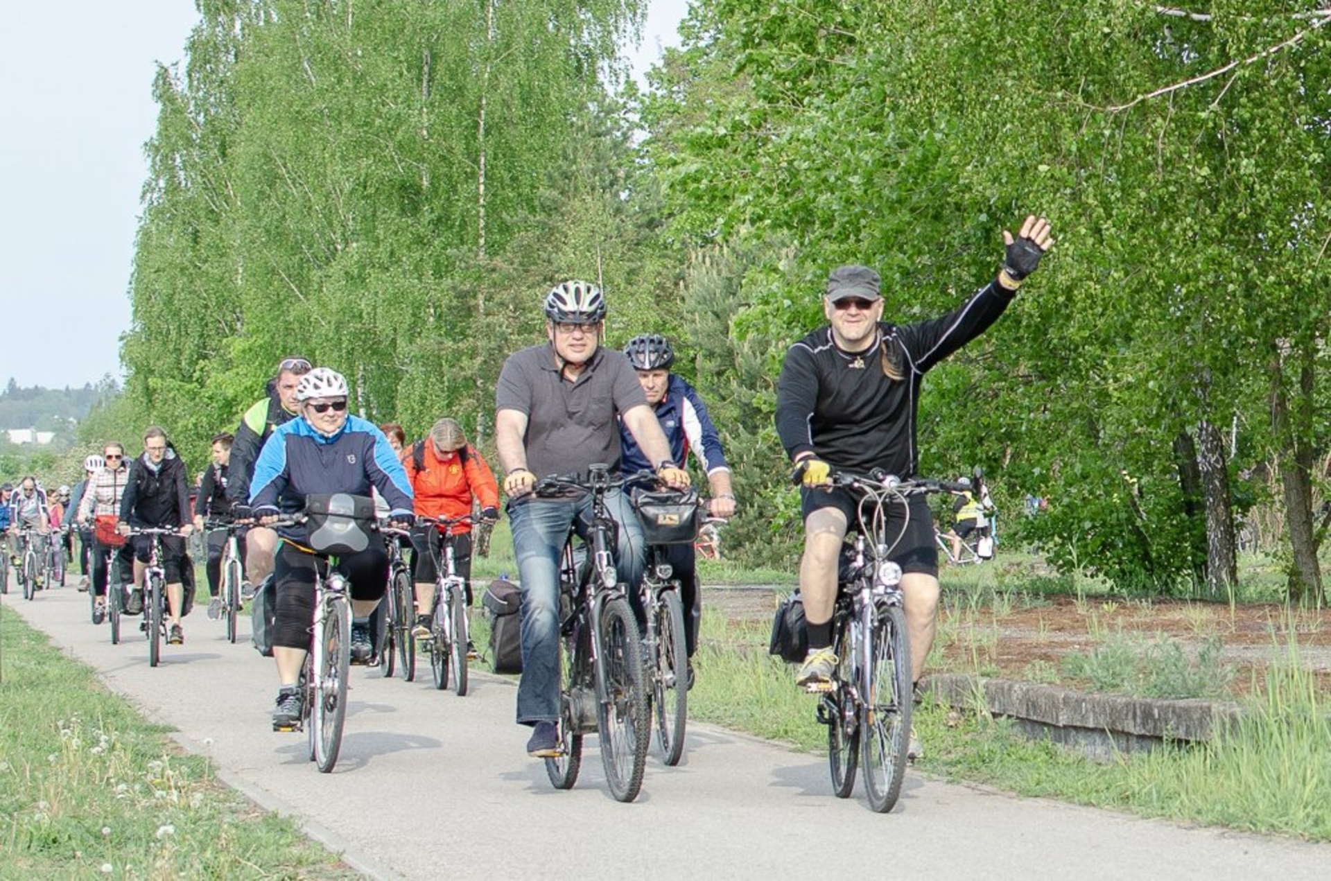
This cycling route dates back to the former 19th century. pab. railway embankment and connects three municipalities: Alytus city and district and Varėna district. The route, which is best started in Alytus at the beginning of the Health Trail (Ūdrijos St.), has directional arrows, route map stands, and information stands at the attractions.
Every year, the association "Olita_Orany" organizes the "cycling train" on this route.
The water pumping station of the former railway station near the Nemunas has also survived in Alytus. To see it, you will need to get a little off the route, but it is worth doing, because the road to it stretches along the beautiful Panemunė bicycle path.
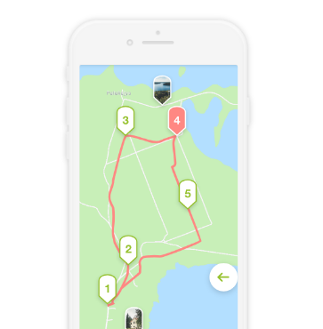
Follow this map as you drive - click HERE to find it.
Observation. The route can also be started in Varėna (from the railway station) and reach Alytus following the directions of the route.
Before you start the trip - a little history.
19th century pab. strengthening the western border of the Russian Empire (which at that time had occupied the present territory of Lithuania), the cities near the Nemunas - Kaunas, Alytus, Grodno - were established. Alytus was fortified by installing a class 3 fortress. A railway network was developed for rapid communication between military crews. 1895 a railway section was built from Varėna station to Poteroniai in Alytus district. It was a branch of the St. Petersburg-Warsaw railway. At the same time, the construction of the railway branch in the opposite direction was started - from Grodno to Alytus via Augustava, Suwalki, Šeštokai. The branches brought from Varėna and Grodno were united in 1899. a railway bridge across the Nemunas was built. This is how the Užnemunė railway, called the Suwalki ring, was completed. A third class railway station was installed in Alytus. During World War I, in 1915, a retreating Russian army blew up a railway bridge. The Germans rebuilt it, but wooden. It served until 1926, later dismantled as unsafe. Without leaving, the branch of the bridge to Varėna was abandoned and eventually dismantled. At the end of the Second World War and after the war, the western railway section Alytus - Šeštokai was also dismantled. The western railway section through Šeštokai was rebuilt in 1959. Thus, Alytus was connected to the USSR railway network without rebuilding the section to Varėna and avoiding the construction of a bridge across the Nemunas. Since 1984 In place of the old Alytus station, only the freight station remained, and the passenger was moved to the new building near the northern industrial district. 1997 the old station is closed, the railway through the city is dismantled. A Health (pedestrian and cyclist) trail has been built in its place.


Jeigu važiuoti visą maršrutą dviračiu, kaip geriausiai būtų atgal sugrįžti į starto vietą prie paliktos mašinos? Ar yra koks nors autobusas Varėna - Alytus (arba atvirkščiai ) ryte/vakare?