
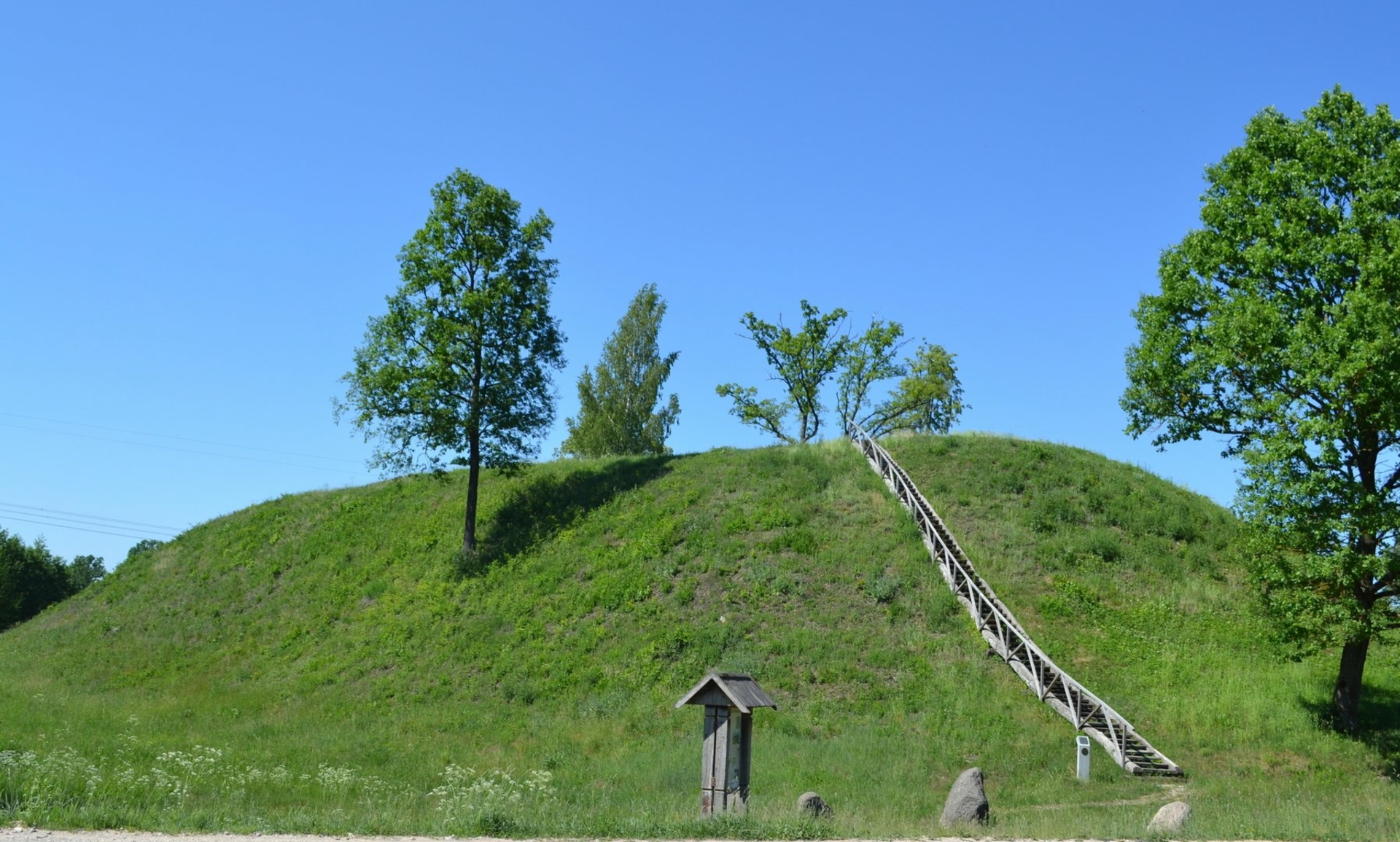
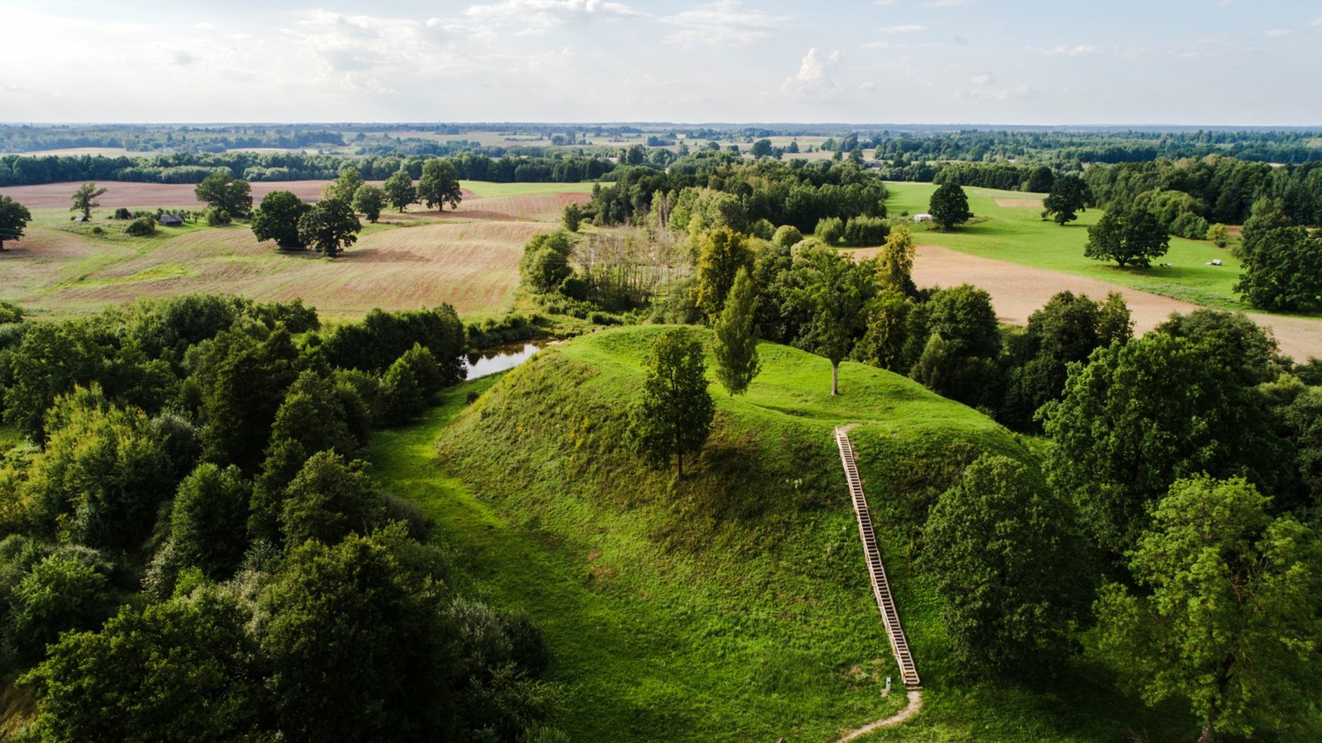
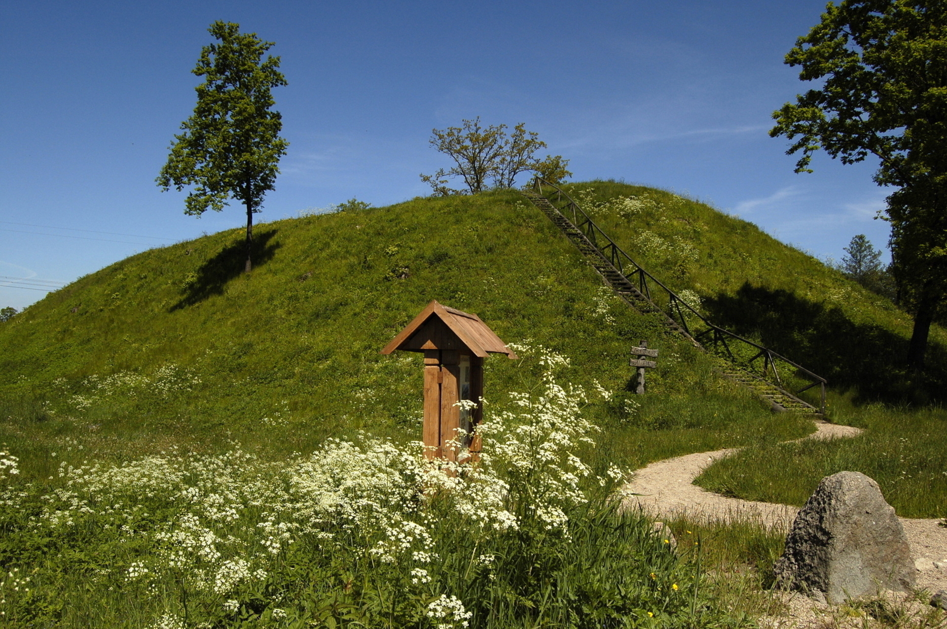
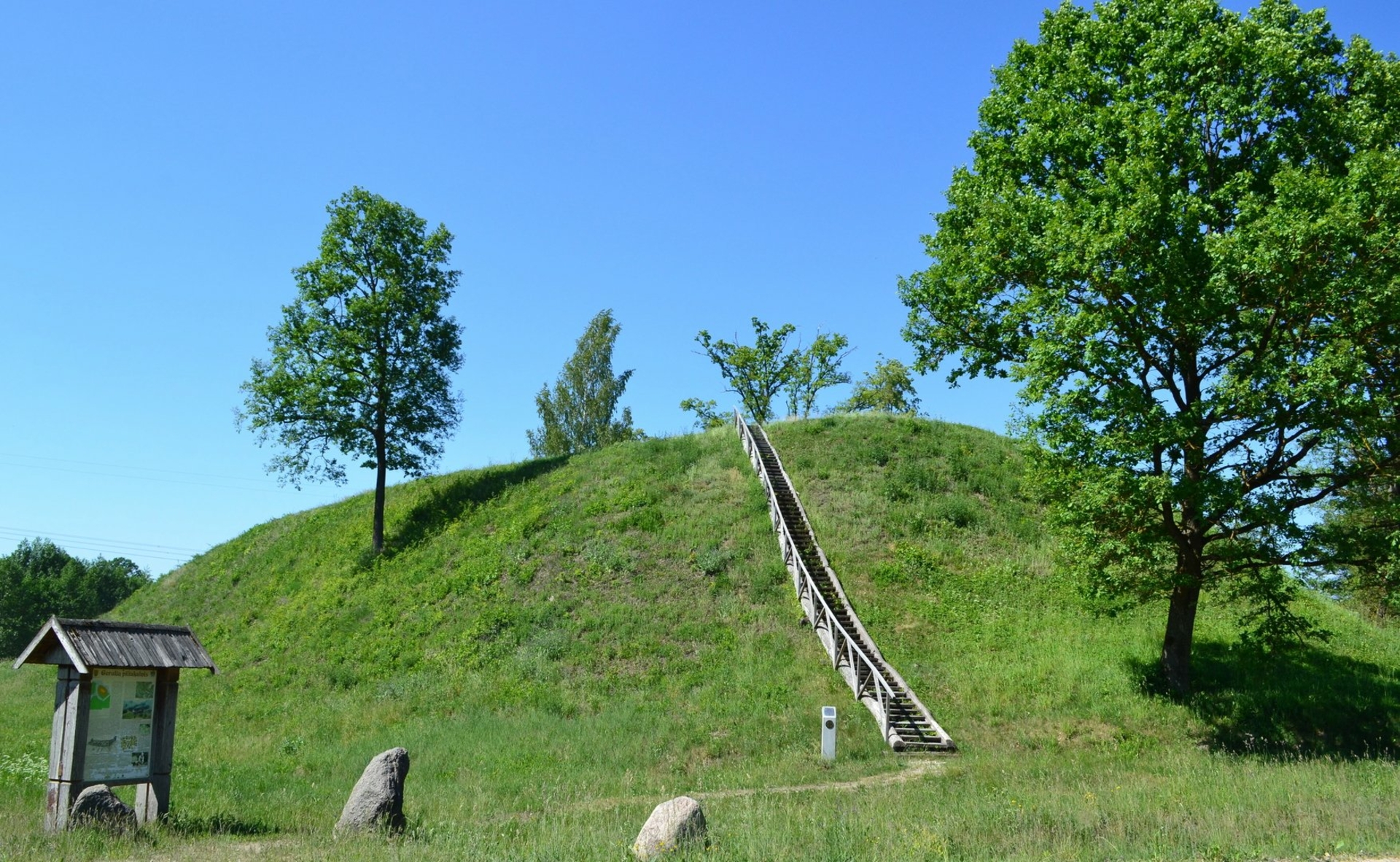
The Hillfort, which dates back to the middle of the 1st millennium to early 2nd millennium, is situated amidst valleys of rivulets on its northern, western, and southern sides. It is also known as Zamkus or Zamkelis. The hillsides surrounding it are steep, measuring 8-11 meters high. The site is oval, approximately 45 meters long and 21 meters wide. A rampart encircles the Hillfort in a circle, measuring 170 meters long and 1-4.5 meters high. The site has four pits, which were the result of amateurish excavations made by German troops in 1916-1917. Across the rivulet, north and east of the Hillfort foot, an ancient settlement was discovered. A cultural layer with a thickness of up to 0.5 meters was found, containing fragments of handmade plain and coarse surface pottery, a brooch, and a loop type with a triangle stem. Geruliai Hillfort has been included in the Register of Immovable Cultural Properties.
Stakliškių g., Gerulių k., Butrimonių sen., Alytaus r.
GPS: 54.531319, 24.270477 (WGS)
Authors of photographs: G. Bernatavičius, A. Lavrėnovas, L. Valentaitė-Gudzinevičienė.
Reviews