
19th century in the 1980s, Alytus became Russia's third-class fortress. In the hills to the west of the town, four forts and an artillery battery have been dug out of the ground.
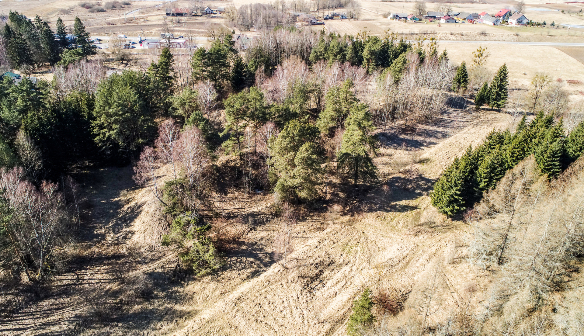
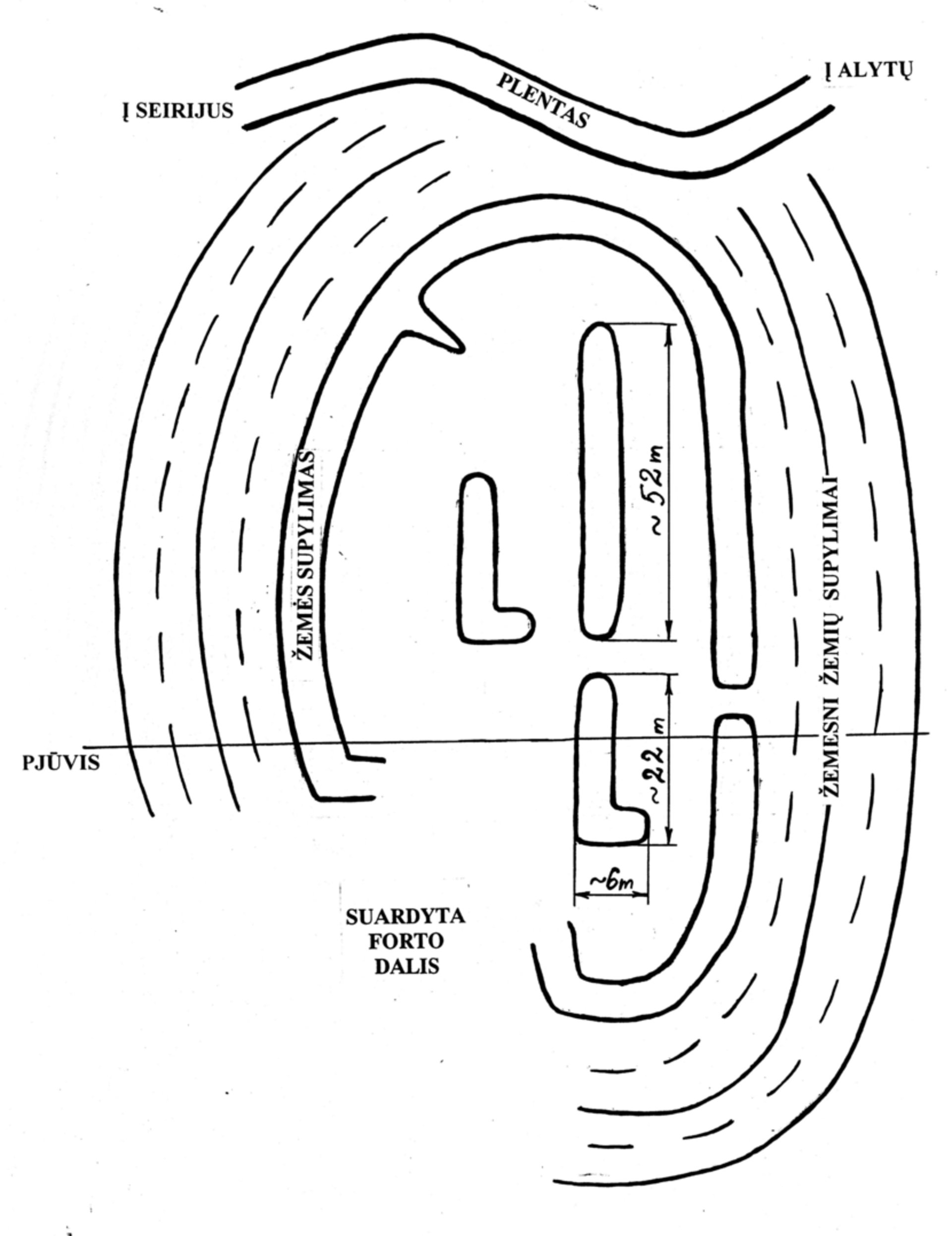
The southernmost of the Alytus forts is the fourth, oriented to the southwest, built at the end of the road to Seirijus. The general plan of the fortress states that Fort IV forms a single complex with a moat and a mound descending towards the Nemunas. in 1906 the fortress was evaluated critically, Fort IV was named as the weakest because it was difficult for soldiers and equipment to move on the steep, wooded slopes, the enemy could easily access the defence line through the forest, and get to the rear along the unfired river bank. None of the forts of Alytus was used for the defence of the city.
During the Soviet era, seedlings for forests were grown on the territory of Fort IV.
GPS: 54.383450, 23.995961 (WSG)
The author of the photo is A. Lavrenovas. The author of the drawing is G. Bernatavičius.
Reviews